Mine digitisation using autonomous drones underground
David Jaunay • May 6, 2024
Underground safety, productivity and profitability
In the world of underground mining, inaccessible areas such as stopes and ore passes are crucial areas that directly determine the shift and monthly productivity. Cavity Monitoring Systems (CMS) provide limited visibility into these dangerous areas but are constrained by access. Digital Terrain continue to pioneer Autonomous LiDAR enabled drone technology with solutions that offer rich capabilities in mapping, monitoring, and managing underground environments.
Key benefits in underground mining include:
1. Precise 3D Mapping:
LiDAR technology enables high-resolution 3D mapping of underground environments with remarkable accuracy. By emitting laser pulses and measuring the time it takes for them to return, LiDAR scanners can create detailed point clouds that accurately represent the terrain, infrastructure, and geological features of underground workings, including stopes and inaccessible areas.
2. Enhanced Safety:
One of the most significant benefits of Autonomous Drone technology in underground mining is its contribution to safety. By operating within the protective barricades and barriers comprehensive data on the conditions of underground workings, LiDAR derived data helps identify potential hazards such as unstable ground, roof collapses, or hangups and blockages. This allows mining operators to take proactive measures to mitigate risks and ensure the safety of employees.
3. Improved Planning and Design:
LiDAR-generated 3D maps facilitate better planning and design of underground mining operations. By accurately capturing the geometry and topography of stopes and voids, mining engineers can optimize the layout of infrastructure, plan drilling and blasting activities more effectively, and minimize waste generation. This leads to increased operational efficiency and reduced costs.
4. Monitoring and Management:
LiDAR enabled drones enables continuous monitoring of underground environments, providing valuable insights into ground movement, rock stability, and infrastructure integrity. By comparing successive LiDAR scans over time, mining operators can detect changes in the underground environment, assess the effectiveness of ground support measures, and identify areas requiring maintenance or remediation.
5. Remote Inspection and Exploration:
Drones integrated with LiDAR technology offers a non-intrusive means of inspection and exploration. By deploying LiDAR-equipped drones or robotic platforms, mining operators can autonomously survey inaccessible areas, gather valuable data, and make informed decisions where only a few short years ago it was near impossible to gain insights into these underground areas.
6. Augmented services vs Do it yourself (DIY)
Most mines have already invested in drone and LiDAR technology to some extent, but have been disappointed with the results or have suffered lost and damaged equipment. There are many reasons for this including
- Personnel changes mean constant re-training
- Operators only gain limited and site-specific experience. This makes them unprepared for difficult scenarios that might develop. Infrequent use almost always results in loss and damage of expensive equipment
- Collecting the data is only half the job. Processing the data collected requires specialist skillsets. Processing and interpreting collected data is extremely heavy on compute and is very data intensive because of the sheer size of datasets.
- Processing turnaround is crucial. Operators often do not have sufficient time to learn and experiment with processing software, techniques and settings for optimal results – all with time sensitivity to inform operational decisions.
- Historical data collected over time is lost or not managed correctly
- Specialist shaft, lighting and other sensor attachments are not easily available but are critical for success
Digital Terrain
Digital Terrain have solutions that replace or augment existing capabilities for capturing, processing, analysis and reporting. We also offer onsite instruction and training where customers seek to build their own expertise.
Digital Terrain have solutions that replace or augment existing capabilities for capturing, processing, analysis and reporting. We also offer onsite instruction and training where customers seek to build their own expertise.
> Enjoy the sample video of our capabilities and contact David Juany for any comments, questions, or service information. david.Jaunay@digitalterrain.io or +61434317580#lidar #autonomousdrones #slam #hovermap #scanning #underground #stope
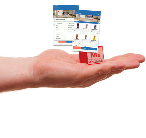
Transitioning from paper-based options to digital solutions is a crucial step for many industries, including mining. Traditional methods, such as handwritten logbooks and reports, are prone to errors, inefficiencies, and loss of critical information. Digital solutions such as Magman and Simbio offer significant benefits in speed, ease of use, and cost savings. K ey Benefits of Digital Solutions Speed and Efficiency Faster completion of inspections and data collection. Instant information sharing via internet connections. Reduced time for data entry and reporting. Real-time access to reports for all necessary personnel. Ease of Use Efficient and accurate data collection with mobile apps and IoT devices. Simplified processes using barcode scanning, RFID, and standardized forms. Automatic organization and storage of information for historical records and audit trails. Customization Tailored solutions to fit specific business needs and processes. Customizable checklists, forms, and corrective actions. Flexible hosting options (in-house servers or cloud-based solutions). Integration with existing systems and workflows. Cost Savings Elimination of paper and postage expenses. Platforms like Magman and Simbio deliver significant savings per document, including productivity and revenue gains. Substantial cumulative savings when multiplied by thousands or millions of documents annually. Environmental Benefits Reduced paper usage saves trees and decreases carbon emissions. Steps to Successful Digital Transformation Assess Organizational Needs Identify specific requirements and challenges. Determine essential features and capabilities in a digital solution. Select the Right Provider Choose providers offering comprehensive, customizable solutions. Ensure the system can be tailored to business size and scale. Evaluate the benefits of increased proficiency through speed and customization. Invest in Training and Education Provide training to help workers adapt to new technologies. Highlight the importance of digital tools in improving safety and efficiency. Embracing digital solutions is essential for mining operations to stay competitive, efficient, and environmentally responsible. The transition from paper-based to digital systems enables better data management, faster decision-making, and enhanced safety. By focusing on speed, customization, cost savings, and proper training, organizations can successfully transition to a paperless environment. Leveraging technology not only improves operational efficiency but also contributes positively to the environment. For those interested in going paperless, applications like the Magman and Simbio suite provide valuable operational insight and real-world practicality to support this transition.
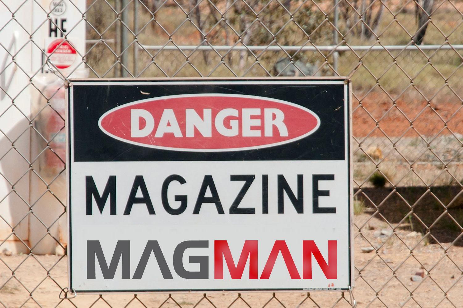
Magman Stocktake New Features Stocktake compliance and balancing your magazine is a key regulatory requirement. Magman has always been focused on this through proactive alerting and email notifications. This has now been improved further by introducing a new stocktake validation workflow. This workflow prevents other transactions occurring if the magazine does not balance and requires approval via designated persons to proceed past an imbalanced magazine. The updated Magman system ensures seamless regulatory compliance and reduced downtime by enforcing users to complete a stocktake each shift prior to any other magazine transactions, removing any guesswork or administration level controls in the stock validation process and immediately requiring intervention if it does not balance. Here’s the new Magman stocktake workflow: